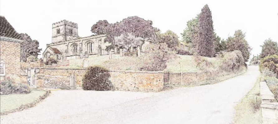
MERCASTON MILL
According to Greenwood’s map of 1825 there was a watermill on the site of what was once a trout farm, now a domestic residence. On the 1836 OS map it is labelled as ‘Mercaston Mill’, as opposed to ‘Old Mercaston Mill’ but more of this later.
The Grade II listed mill building is presently a domestic residence, having replaced the trout farm. The brick buildings probably date back to about 1800, little remains of the interior workings of a cornmill, other than the mill leat, that was used to supply water to the fish farm and a complete 22 foot diameter by 5 foot wide breastshot waterwheel at the rear of the building. The wheel had iron shafts and hub, wooden arms and floats, but iron shrouds and was renovated when the property was developed in the early 2000’s. The tail water leaves the building through a brick-lined tunnel. The mill worked until about 1920 when corn milling ended though apparently the wheel was still used to power grinders used to reduce meat into a fish meal.
There is a reference to a miller Joseph Holbrook, in 1876. As well as this, the record of baptisms from Mugginton Church also shows the occupation of the father. From this we find that in 1814 Joseph Goodwin from Mercaston gives his occupation as ‘miller’. Also from Mercaston is William Ride in the 1820’s and from Mugginton, John Ford in 1851. In 1843 John Travis from Mercaston is listed as a ‘miller’ and ‘farmer’, however in 1849 George Travis also gives his occupation as ‘miller’ and ‘farmer’ but additionally gives his address as Mercaston Mill.
Now we return to the 1836 OS map that gives the location of the ‘Old Mill’, closer to what some believe the centre of Mercaston Township, This is not far from Mercaston Green or Stoop alongside the lane leading to School Farm, where just above the ford can be seen the outline of a mill dam. The mill would also have been served by Taghole Lane which was probably a more substantial trackway than the one we can walk today.
The following was taken from Derbyshire Historic Environmental Record from Derbyshire County Council.
An exchange is recorded c. 1230 AD in the Tutbury cartulary (deed 273) between Sergo de Mungay and the Priory Mill - (Mercaston Old Mill) - thought to have been located within the very wet site at the southern end of Ravensdale Park. A mill is listed at Mercaston in the Domesday survey and is mentioned in a deed dated 1664, which refers to the 'mill and its watercourses'. A mill is shown on Burdett's map of 1791 at about SK 273 429 but on the first OS map of 1836 the location is marked as 'Old Mercaston Mill', with 'Mercaston Mill' being shown at a different site [see SMR 23307]. In 1956, F W Munster reported in the 'Derby Miscellany' that, down a narrow lane leading to School Farm in the area marked by Burdett for the mill, he had found traces of a mill dam. The area relating to the old mill was scheduled in 2004. At the southern end of Ravensdale Park, are the earthwork and buried remains of a mill and mill dam. This area of the site is very wet and boggy and access is limited due to waterlogging, but the mill, mill dam, inlet and outlet leats to and from Black Brook and various platforms are clearly visible on the west side of the access track to Schoolhouse Farm. These remains survive as both earthwork and buried remains.
Further documentation can be found on this website under the title of